REU Research Projects

REU Projects

At the University of Arizona, we are building a program to bridge the gap between laboratory- and field-scale studies by utilizing the unique infrastructure of Biosphere 2. Biosphere 2 offers unique opportunities for the exploration of complex questions in Earth sciences because of its ability to combine varying scales, precise manipulation and fine monitoring in controlled experiments. By building upon the large external scientific network at the University of Arizona in hydrology, geology, geochemistry, ecology, biology, physics, engineering and atmospheric sciences, we are developing a strong multidisciplinary team of researchers who are undertaking the design and deployment of top-notch science to address complex questions in environmental sciences. Projects for 2025 REU students include:


Image
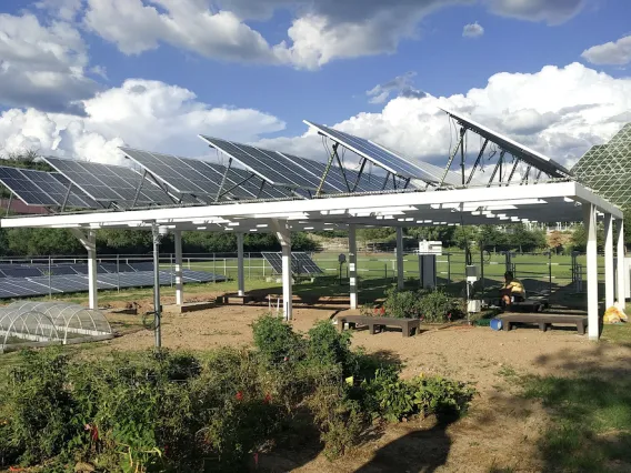
Agrivoltaics
Ecosystem Science, Renewable Energy Production, Food, and Water Sustainability

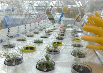
Greg Barron-Gafford, Dept. of Geography and Development, and Biosphere 2. External forces (like environmental and human factors) and internal characteristics (like plant ecophysiology) determine where species can live and thrive. This nexus is critical for tackling one of the greatest challenges facing our future - how to simultaneously maximize renewable energy production and food production without degrading the environment. The "Agrivoltaics" installation at B2 blends renewable energy production from solar photovoltaics with agriculture to study the impacts of this novel approach on plant function, water use, and biomass production.
 

Image
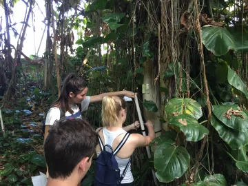
Students in the Tropical Rain Forest
Tropical Forest Dynamics and Trace Gas Fluxes

Joost van Haren, Biosphere 2. Tropical forests are among the most dynamic ecosystems in the world, but their responses to climate change are uncertain. B2 provides an opportunity to study tropical ecosystems under future conditions (increased temperature, decreased precipitation); the large enclosure and artificial rainfall allows precise determination of water and carbon movement through the biome. Students use the B2 tropical forest to assess plant, hydrological, and carbon cycling responses to altered temperature and precipitation.


Image
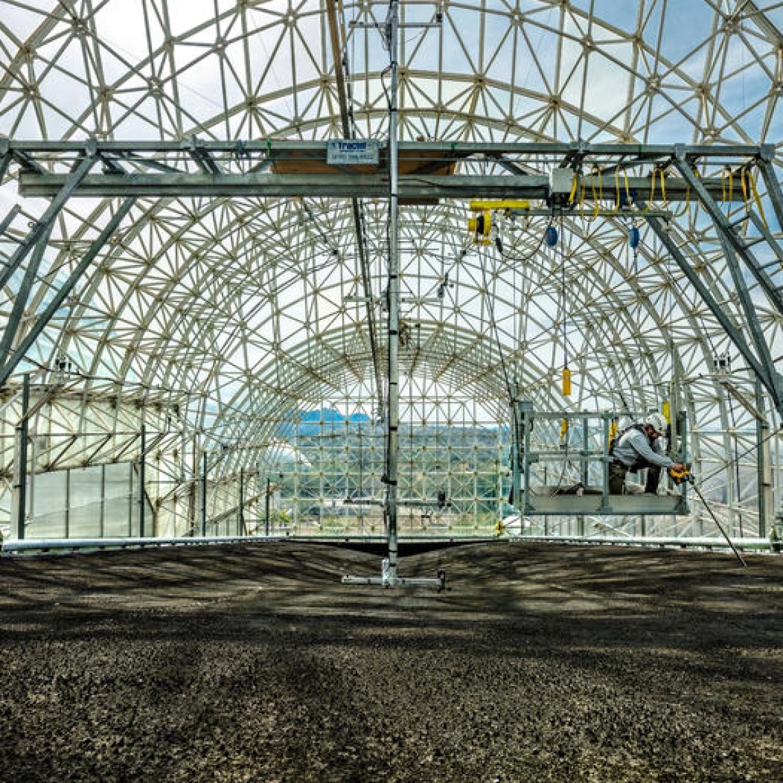
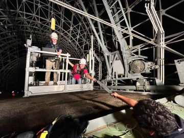
LEO


Landscape Evolution Observatory 

 Scott Saleska, EEB. The Biosphere 2 Landscape Evolution Observatory (LEO) is discovering answers to the fundamental question of landscape terraformation: how does life expand and sustain itself, in increasingly complex forms (from simple microbial life, to non-vascular mosses, to vascular plant-microbe associations with complex hydraulic architectures and life-sustaining symbioses), across landscapes at multiple scales to transform bare rock into complex multi-function ecosystems? Insights gained from LEO can help us learn new ways to address problems ranging from how to build sustainable life support systems for other planets to restoring severely degraded landscapes from mining or other processes. Students will have the opportunity to work with a transdisciplinary team consisting of engineers, educators, hydrologists, modelers, geochemists, social scientists, ecologists, botanists, microbiologists, and remote sensing scientists.


Image
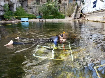
Student swimming in Biosphere 2 Ocean


Calcification & biomineralization under a changing climate

 Diane Thompson, Dept. of Geosciences (GEOS). The Biosphere 2 Ocean (B2O) mesocosm provides a unique opportunity to isolate the impacts of temperature and acidification on calcifying reef organisms at ecosystem scale.  Leveraging this scale and control, this project will assess the impact of changing ocean conditions on the growth of calcifying reef organisms, and in turn, the climate records generated from carbonate skeletons (e.g., corals, coralline algae, bivalves, and foraminifera). Controlled experimental studies are required to understand the processes by which geochemical signals are incorporated into the carbonate skeleton during the calcification process (“biomineralization”), and how these processes change as a function of calcification rate, species and environmental conditions. This project will provide REU students with hand-on research experience at the interface of reef ecology, geochemistry, and paleoclimatology in the largest experimental ocean facility in the world, working with leading paleoclimate researchers in GEOS.


Image
Dontsova


Mineral weathering, soil formation and carbon sequestration as influenced by water flow and biota

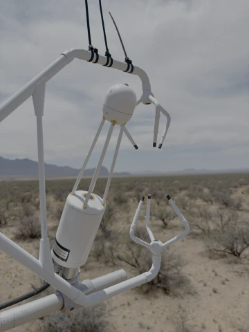
 Katerina Dontsova, ENVS and B2. Projects at Biosphere 2 would focus on soil formation processes and development of subsurface heterogeneity through hydrologic-geochemical coupling using direct measurement and geochemical modelling: what happens in the basalt covering LEO slopes as a result of water flow and biological activity; what is the role of slope position, water residence time, and microbial activity on total weathering, chemical denudation, formation of high surface-area secondary solids, and accumulation of organic and inorganic carbon.


.


Image
Tfaily


Microbial-organic matter interactions and controls in dynamically changing systems

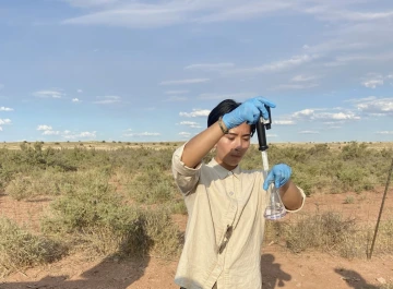
 Malak Tfaily, ENVS. My research interests revolve around terrestrial interactions of geochemical and biological processes, at multiple scales (pore-to-ecosystem scale) and the resulting impact on the whole ecosystem. We use a combination of modern analytical molecular (high resolution mass spectrometry, etc.), geochemical (wet chemistry and gas flux), and isotopic techniques (natural abundance, and isotope enrichment) to answer where and how organic matter degradation and formation takes place in different ecosystems. Students would couple field work and laboratory studies to understand and examine the direct relationship between organic matter composition, the activity of the biological community, the geochemical signature of the activity and how that signature may translate between environments.


Image
Angelee Castro


Geospatial Trends in Groundwater Quality

 Joseph Hoover, ENVS. The overall objective of this research project is to apply GIS and spatial analysis methods to investigate groundwater quality trends for sources in Indigenous communities. Water management plans and infrastructure develop necessitate information about groundwater quality to support investigations for additional source development. Using existing publicly available data, students will analyze groundwater quality information, emphasizing trace metals, using geographic information systems. Students will receive training in applications of GIS and statistical analysis methods. There may also be opportunities for limited field work to collect water samples for analysis in partnership with Indigenous scholars and communities.